The Sea Islands
Jerry’s road trip started in Fernandina Beach on Amelia Island. It is the northernmost city on the Florida coast. Even though he believed the Milestone Law ruled out seaside living in Florida, Jerry’s old back could only tolerate 5-6 hours of driving from Sarasota, so he thought he’d overnight there and explore the area. Known as the Isle of 8 Flags because it has been occupied by eight separate nations including the Confederate State of America and finally the United States.
There are miles of beach with homes directly on the ocean, but the little town of Fernandino Beach is set on working docks and made up of a few stores and restaurants with many Bed & Breakfast places around. The Hampton Inn is right in town. The old homes are cool, but nothing special seemed to stand out about this touristy place. And, it was in Florida…
The South Carolina Islands
The next day he drove off skipping the nature preserve Jekyll Island, and St. Simons Island which has a walkable Pier Village that could be cool, but the pictures on the internet were not compelling enough to stop and check it out. He drove four hours to Mt. Pleasant passing through Charleston which is a small city filled with tiny wooden houses side-by-side, but no water or beach views. It was just not as charming as he expected.
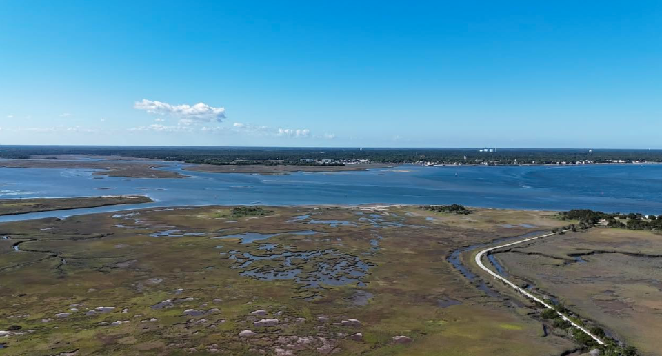
Mt. Pleasant is highly developed, but nearby Shem Creek has a boardwalk over the marshes with waterfront dining where this writer met folks who had traveled the world and thought living there was the best. To be near town meant living on a marsh rather than the ocean, which is probably smart given the hurricane exposure – but this was not what this writer looking for. Check out Shem Creek’s boardwalk and marshes in the pictures below.
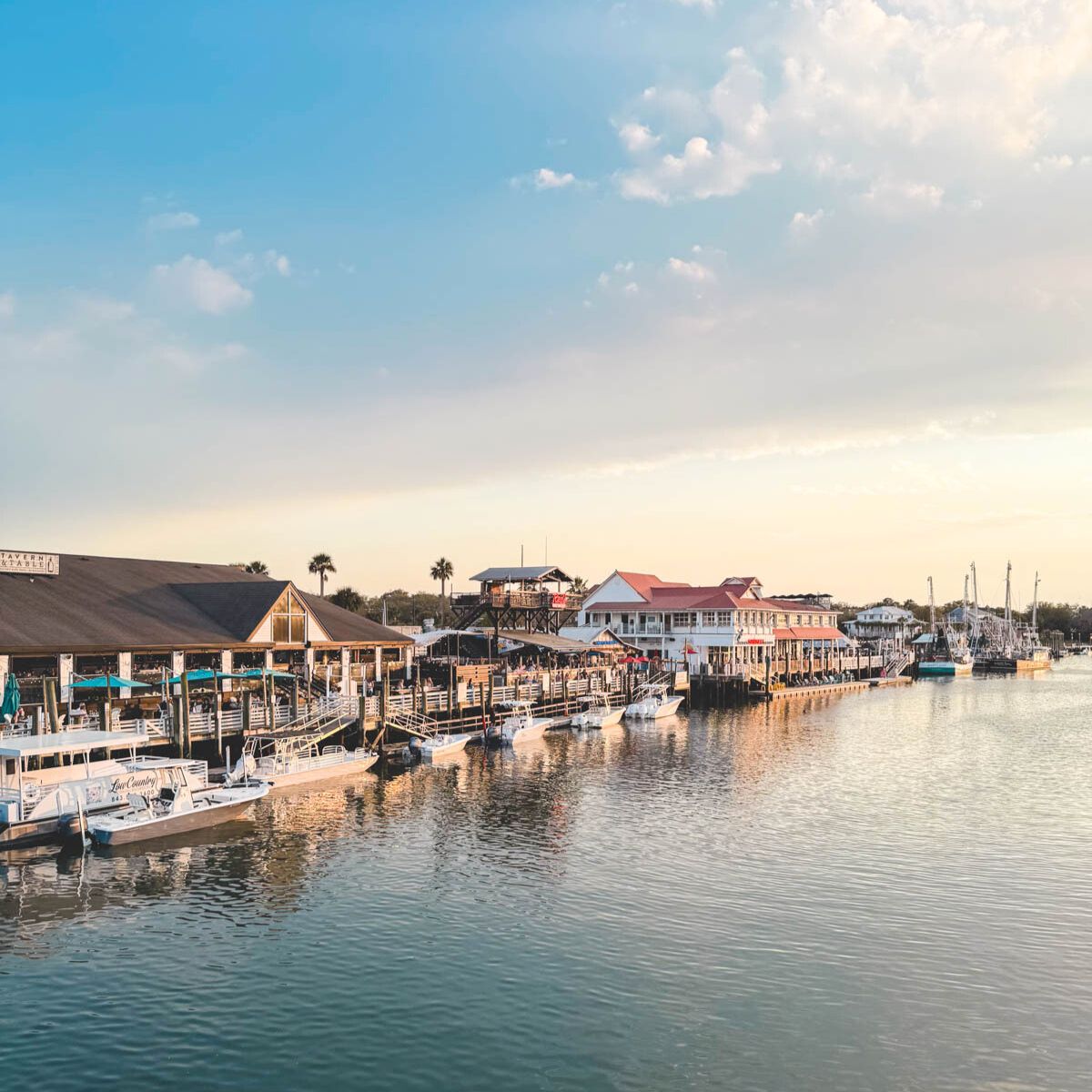
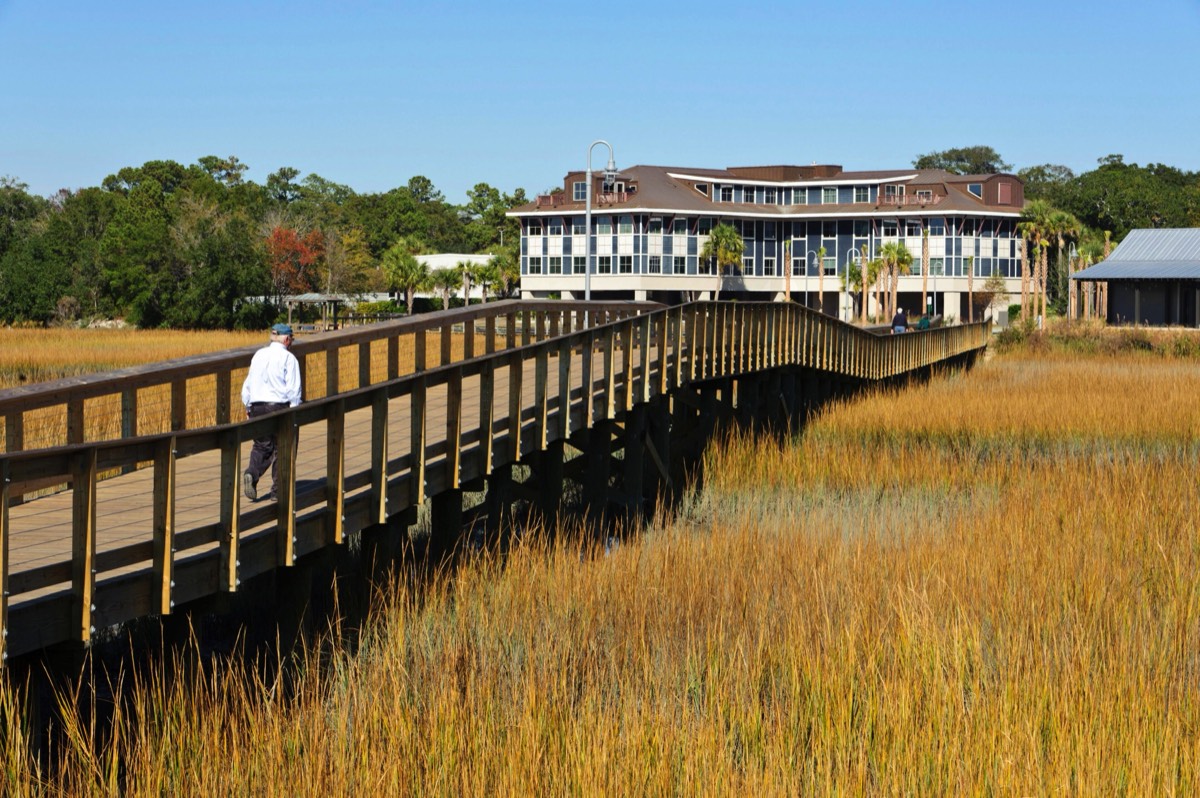
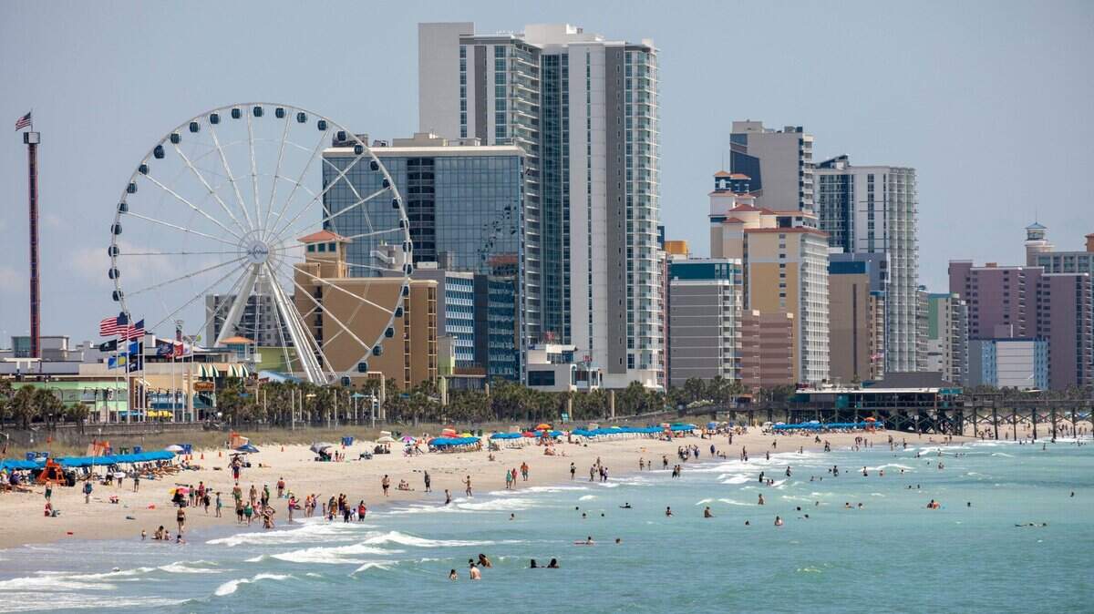
Just for the heck of it, I drove north along the coast through Surfside Beach and then Myrtle Beach. Regarding my criteria, it was just awful. Enough said!
The North Carolina Islands
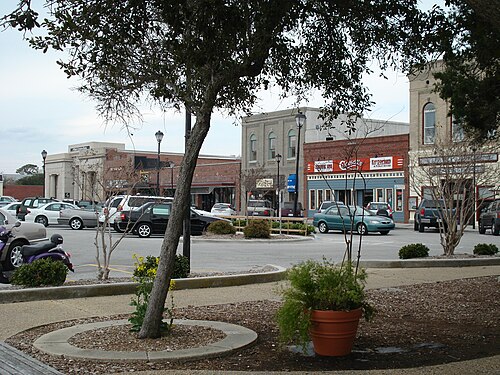
A five and a half hour drive took me, next, to Beaufort, NC – a small, walkable town. This city center is great with restaurants and plenty of waterfront spots to sit and overlook the working docks.
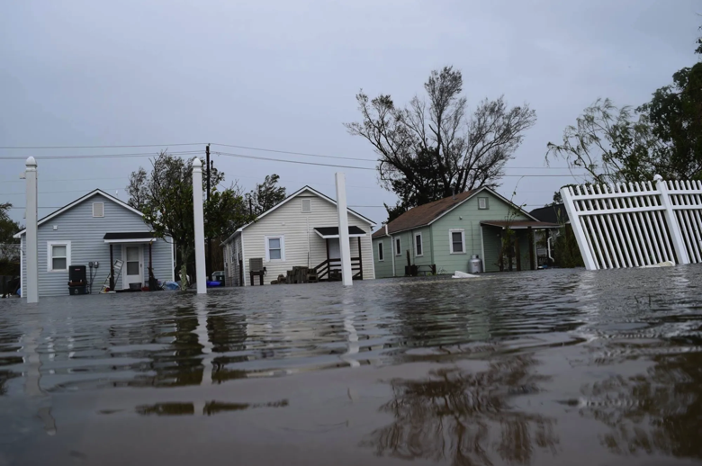
But, according to Madeleine Paris’ 05/07/25 article in The Assembly, 79% of Beaufort properties are at risk for flooding and should be raised ~ten feet in the next few years. It’s not
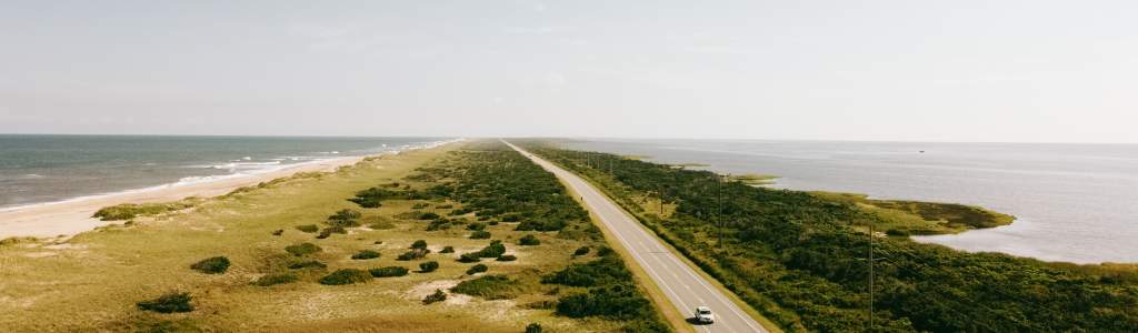
The next stop took a four-hour drive from Beaufort to the Cedar Island Ferry located in the teeny town of Moorehead City, NC. The $15 auto ferry takes two and a quarter hours to reach Cape Hatteras on Oracoke Island. My goal was to then drive the Outer Banks down Oracoke Island and overnight in the town of Manteo. I didn’t expect an amazing 30-minute drive over NC Route 12 through marshes and the sea to get to Moorehead.
In fact, I arrived at Moorhead only to learn my ferry reservation to Cape Hatteras was cancelled because of concern about impending weather even though it was a beautiful day. So back I drove, the way I came, 6.5 hours to the mainland, around and up to Roanoke Island which is heavily developed around its northern end, where Manteo is located.
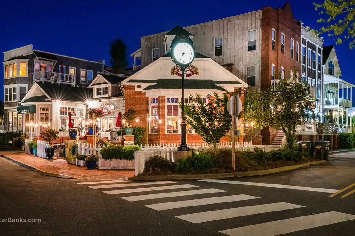
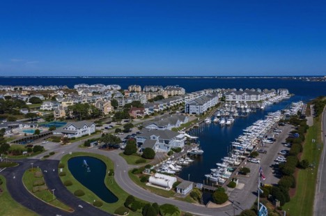
I overnighted in Manteo after a nice dinner in town (had pickled eggs) a local joint, shown below left. I learned that living in Manteo would mean cramped quarters in a new, charmless, condo – see below right.
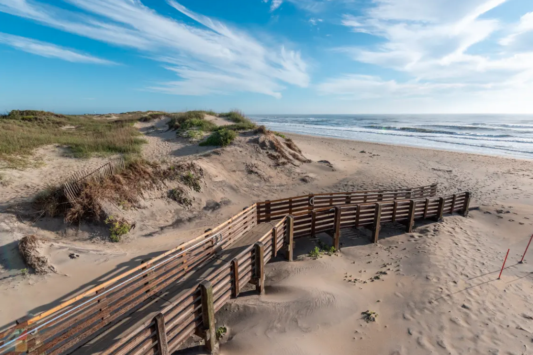
The next day, I crossed over a long bridge to Bodie Island which I’ve wanted to visit for many years. Like some beaches on Cape Cod they allow over-sand driving, but on the Cape we can spend three nights in a truck camper right on the beach which, 40 years ago, is how we fell in love with direct seaside living. Well, the
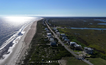
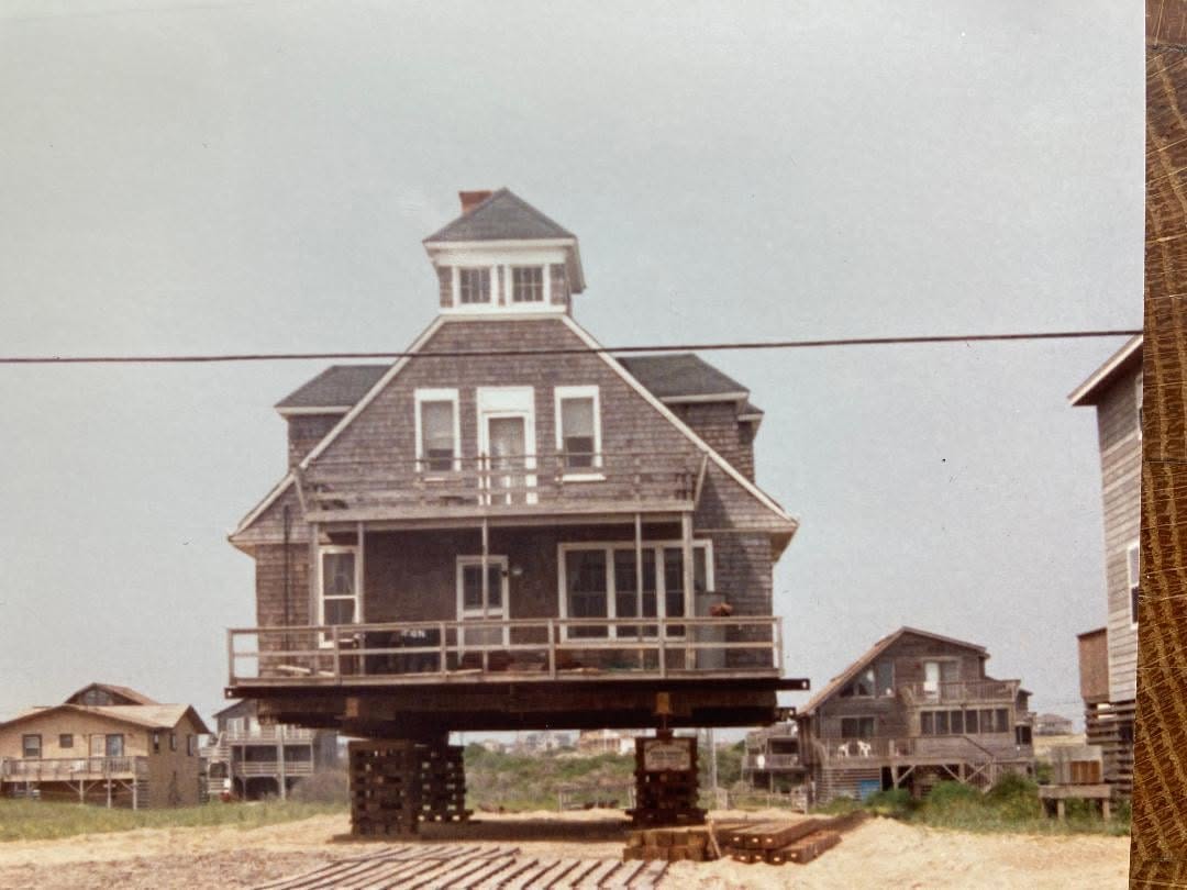
There is the two-mile historic cottage district on Nag’s Head called Millionaire’s Row, but even they are being lifted (see below). What this writer typically saw along the coast for single homes on the beach is illustrated in the right photo below. Not what I’m looking for.
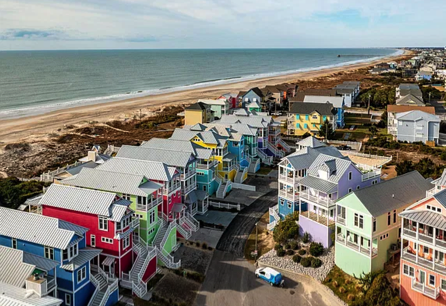
Driving north on Nag’s Head brings you to Kitty Hawk, where the Wright Brothers flew their plane. Then we proceed on through the heavily built up Kill Devil Hills and leave the Sea Islands crossing over by bridge to the North Carolina mainland in the town of Point Harbor.
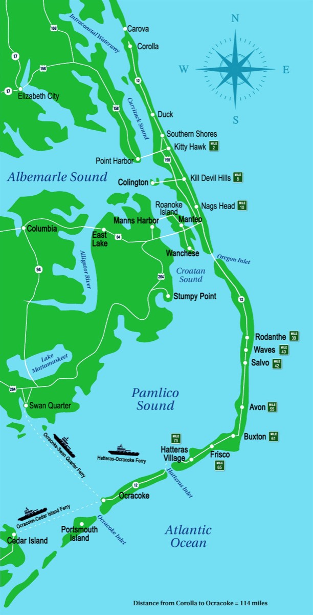
On the map above you can see the Cedar Island Ferry terminal, where I had to turn around since the ferry had been stopped due to threat of weather. I had to detour all the way back and take Rt 264 to get to Manteo on Roanoke Island where I had dinner and spent the night as previously described.
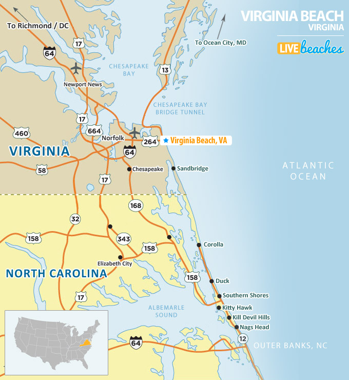
The next morning, I crossed over the bridge getting back on the Outer Banks, driving through Nags Head to Kitty Hawk where I got on Rt. 158 heading north about 210 miles to Virginia Beach, Virginia’s most populous city.
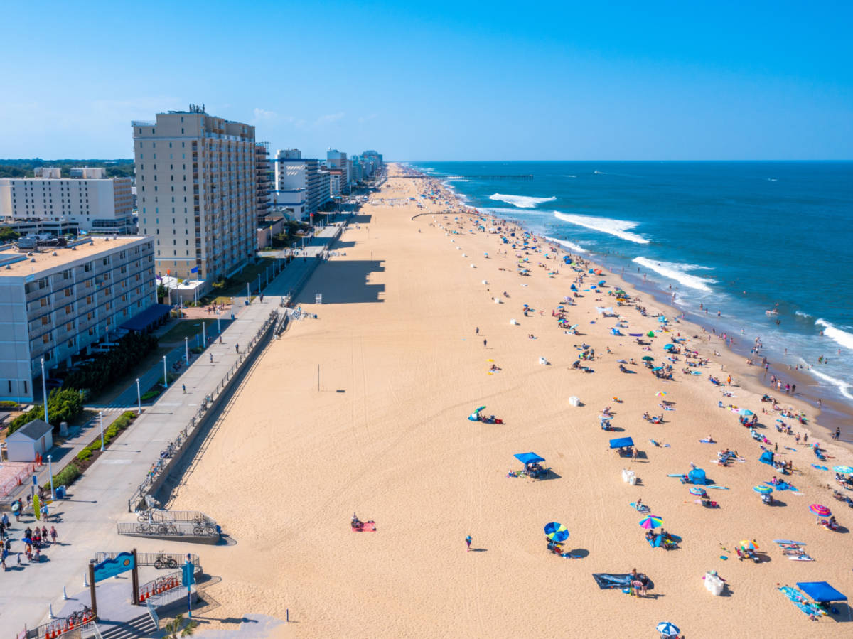
There is a paved “boardwalk” and there are high-rises.
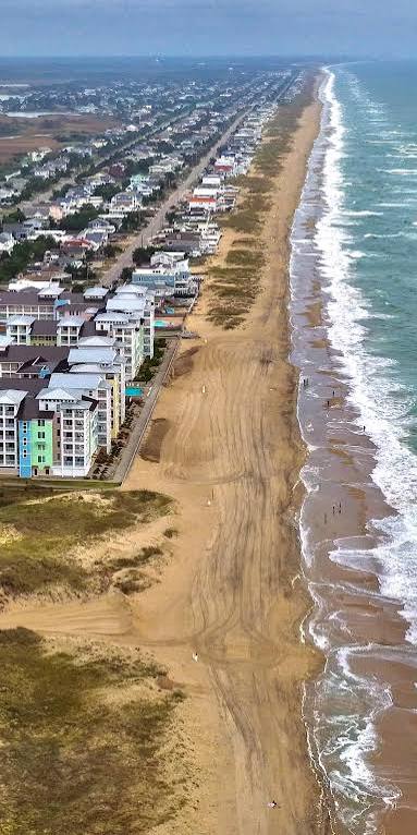
While Virginia Beach is “less” built-up compared to other coastal cities like Ocean City, MD (the next stop on our journey), I saw no place along the way I preferred over Cape Cod.
Below, see my path from Nags Head to Virginia Beach. With no continuous road from Corolla to Sandbridge you can’t drive up the island; to travel north you must cross over to the mainland and take Rt. 158/168 to VA Beach.
My next stop was Ocean City, MD about 140 miles north. To get there along the coastal islands, you go over-and-under the Chesapeake Bay via an impressive, long bridge/tunnel/bridge/tunnel route.
Let’s jump to Ocean City and then progress through Maryland and Delaware along the coast in the next section.
